

Southwest Desert Foraging Guide
Edible Plants and Seasonal Finds from Yuma to Fort Stockton

Yuma, AZ → Fort Stockton, TX
Last updated: September 12, 2025
Quick Resources
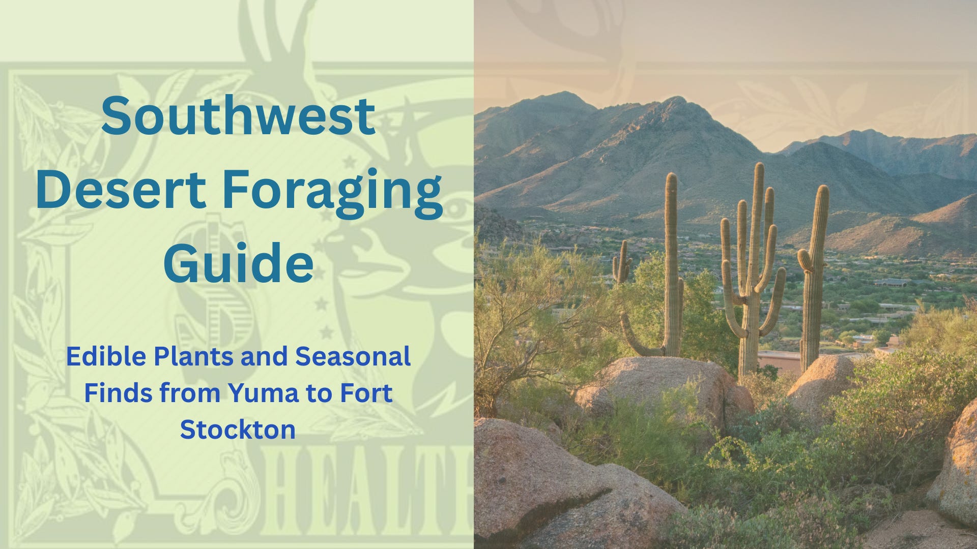
This guide spans roughly 200,000 square miles (≈518,000 km²), from the Lower Colorado Desert near Yuma, Arizona, across the Rio Grande corridor and El Paso, into Big Bend National Park, the Guadalupe Mountains, and up to Fort Davis, Texas, where high desert elevations meet springs and mountain wildlife.
FULL PLAYLIST 👉 HERE
Each of these regions holds a different desert face:
Riparian corridors with cattails, reeds, and wild greens.
Uplands and scrublands with mesquite, yucca, and prickly pear.
High desert and mountain zones with unique flora and cooler-climate edibles.
From Yuma’s low desert basins to Fort Davis’s high country, the desert is not one thing but many. Big Bend and the Guadalupe Mountains show how altitude and water transform what grows and what thrives, just as the Rio Grande riparian corridor differs from open scrub.
The desert is always shifting — and so is the information in this post.
Sources
https://www.nps.gov/chir/learn/nature/treesandshrubs.htm